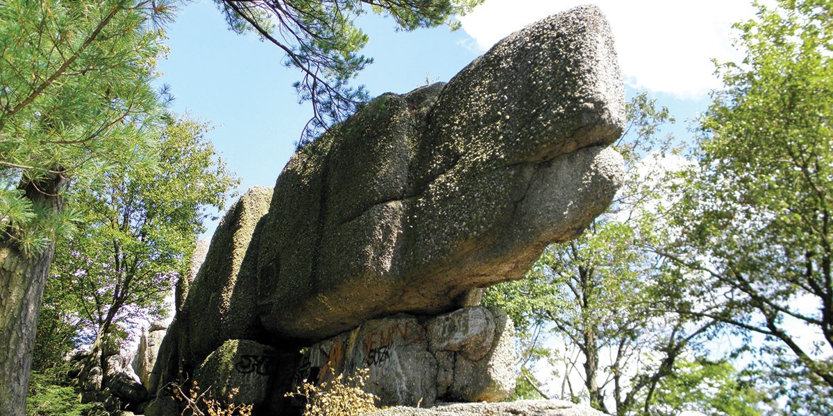
Stony Valley is part of the second largest roadless wilderness tract of land in Pennsylvania and boasts a 19-mile trail system with many shorter hikes available.
Originally named St. Anthony’s Wilderness by Moravian missionaries who arrived in the colony in 1742 to convert Native tribes, the Stony Creek Valley became the site of five bustling towns after discovery of coal in 1824. The Schuylkill & Susquehanna Railroad was built in the 1850s to transport coal to the canals and tourists to enjoy the healing mineral waters at Cold Springs. The spring water’s popularity led to the construction of a 200-room resort to accommodate the wealthy Philadelphians who came for the healing waters.
Today, remnants of the past can be seen along the trail, including: Cold Spring, the mid-19th-century summer resort; Yellow Spring, a former lumbering and coal mining town; and the General, a gasoline-powered shovel can be seen along the trail. At Rausch Gap Bridge (about 3.5 miles west of the eastern trailhead) you can find information about former mining town of Rausch Gap, now a ghost town.
By 1944 the mines were exhausted, the lumber stripped, and the railroad fell into disuse. The elegant, 200-room resort hotel at Cold Springs burned to the ground. The Pennsylvania Game Commission purchased the land in 1945 and converted the railroad corridor to a trail soon after, making the Stony Valley Railroad Grade one of the nation’s earliest rail-trails.
Located on 44,342 acres of state game land, the trail passes through natural habitat with an abundance of wildlife. Unique among rail-trails in Pennsylvania, each fall the Stony Valley Railroad Grade is open to motor vehicles for one day. During hunting season, the trail is closed to non-hunting bicycle and equestrian use.
To reach the northeastern trailhead from the north Lebanon area, take SR 72 north. Where it cross the Appalachian Trail SR 72 turns into SR 443. When you reach Gold Mine Road, turn left (north) and follow it to the top of the mountain; turn left onto Old Railroad Bed Road. The trailhead and parking are straight ahead.
Best Known For
- The trail passes the Gold Mine Road trailhead in about 17.3 miles and then ends another 2.4 miles ahead, where it overlooks Lebanon Reservoir, which supplies drinking water to the town of Lebanon.
What Locals Love About It.
- “I have biked, walked and xc-skied this trail many times in all seasons in all weather. yes, the Dauphin/Ellendale end is a bit rough but it offers some solitude and shady peace and quiet only a few miles from what has become the major trucking and warehouse hub of the northeast. Its 10 degrees cooler than the city and very quiet. Because of the shade and elevation, it stays snow covered and wet after surrounding areas have warmed up on the spring.The Stoneycreek is a great little trout stream if you’re willing to slow down and be patient, and there are lots of quiet little spots to cool your feet on hot days. This place is a gem of wilderness surrounded by a noisy, busy world.” -wtrathbun_tl via traillink.com
You Might Also Like
- Snow Geese Migration: A Local Phenomenon
- So We Never Forget
- Summer in the Lebanon Valley – Part 1
- Sustainability in Lebanon Valley Parks, Trails, and Waterways
- 7 Things to Do This Winter in the Lebanon Valley
